Map
Everything we write about, on one map. Turn on what you are looking for.
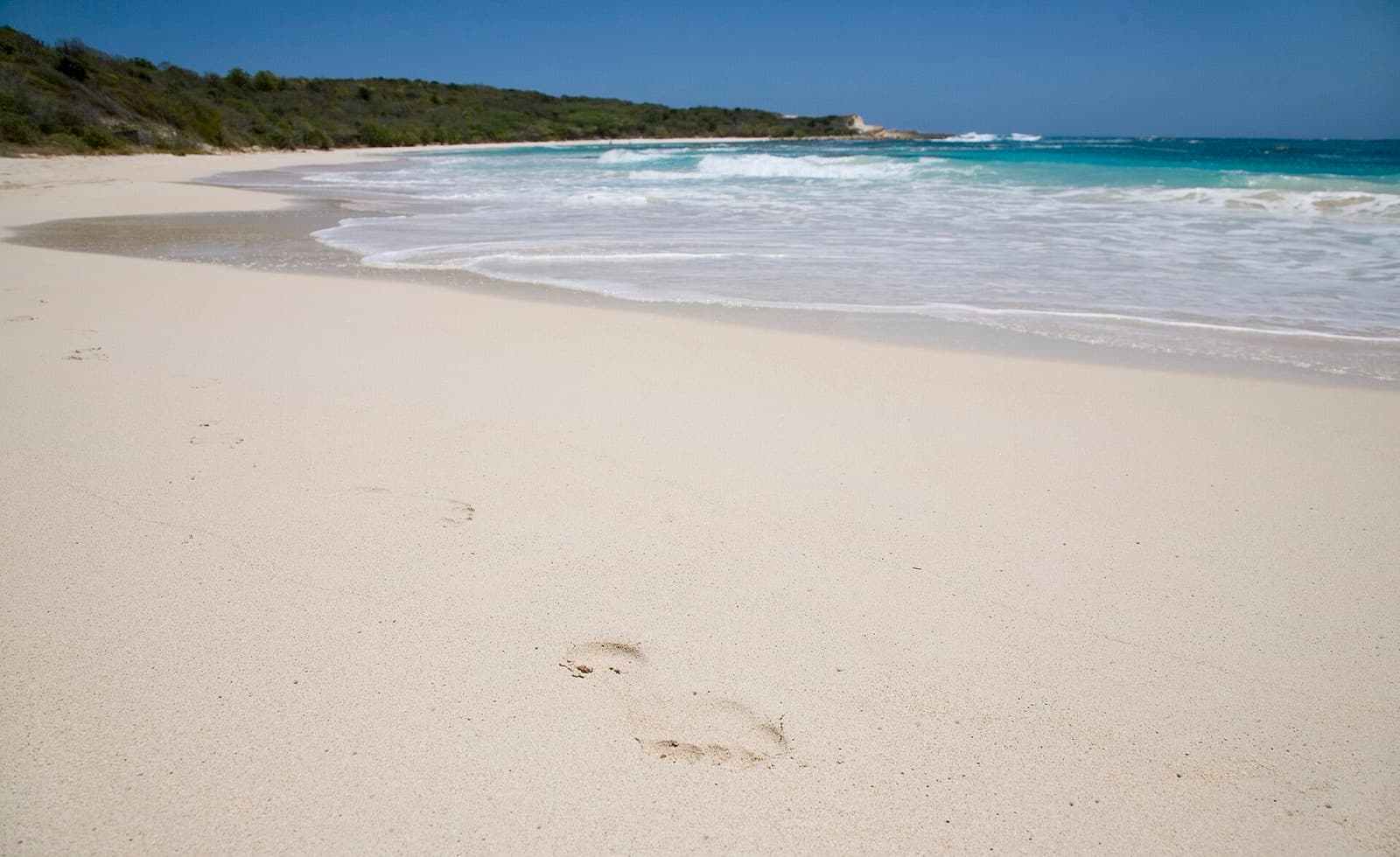
Half Moon Bay
East Coast
A near-perfect crescent of white sand on the Atlantic side, backed by low scrub and almost always empty. The swell breaks along the open end of the curve and dies away towards the sheltered corner, so the same beach gives you surf or flat water depending on where you put your towel.
Editor's Pick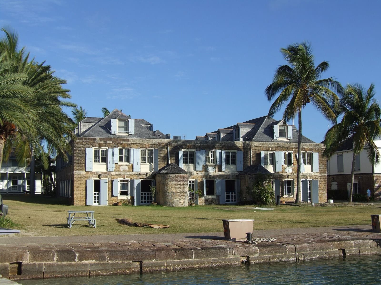
Nelson's Dockyard
English Harbour
A Georgian naval dockyard that never became a museum piece: the eighteenth-century stone buildings around the quay still serve the yachts moored against it. It is the centre of Antigua's UNESCO World Heritage site, and you can walk the whole of it.
Editor's Pick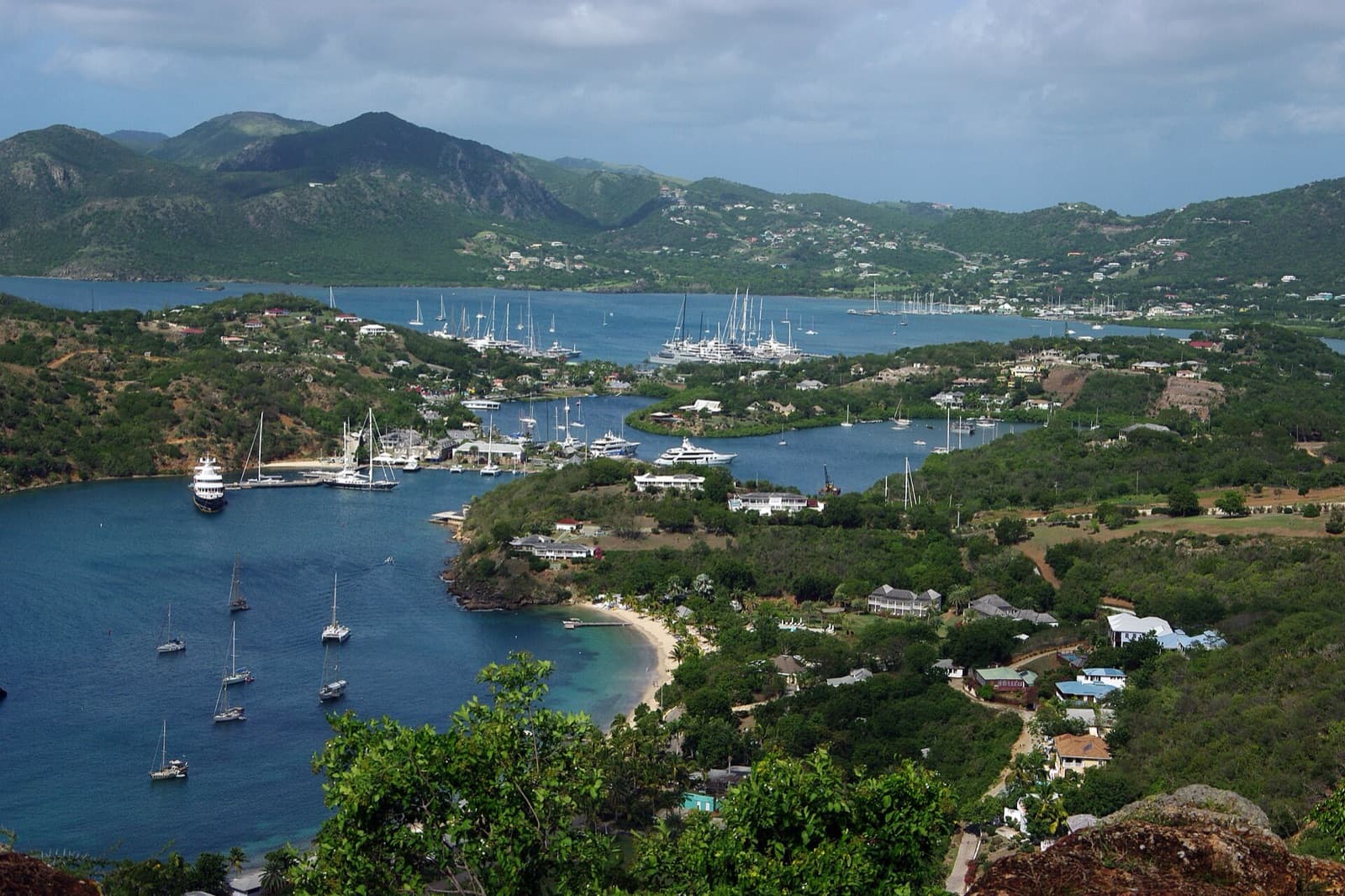
Shirley Heights
English Harbour
The ridge of old gun batteries above English Harbour, and the view that ends up on most photographs of Antigua: both harbours below you at once, full of masts. Go towards the end of the day, when the light comes across the water.
Editor's Pick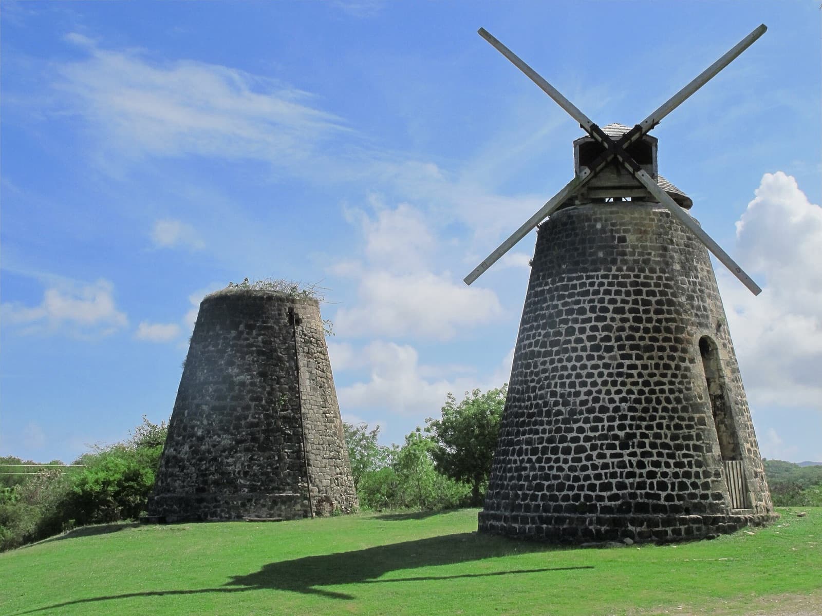
Betty's Hope
East Coast
Two stone windmill towers standing in open grass, one of them restored with its sails back on. This was one of the island's first large sugar estates, and the site is now a museum of what that industry was and who it was built on.
Darkwood Beach
West Coast
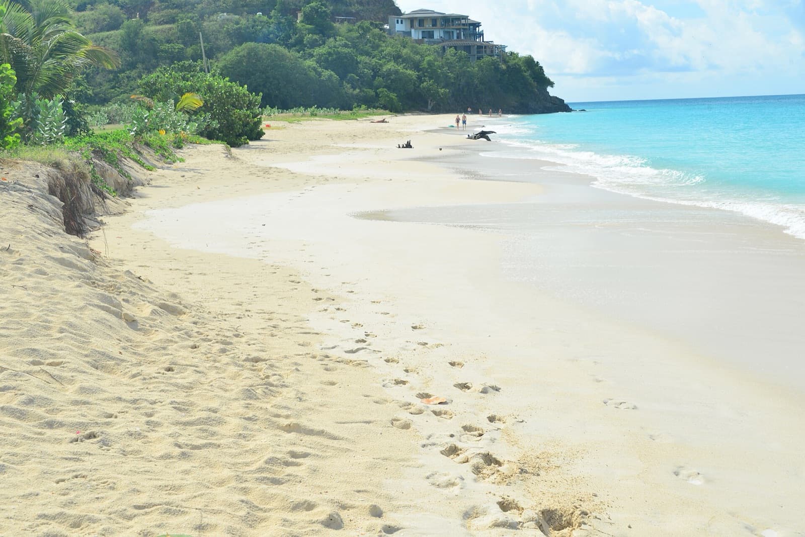
A long, shallow strip on the Caribbean coast where the road runs close enough that you can stop, walk down and be in the water in a minute. Calm most days, and the view west means it holds the light until the sun goes down.
Devil's Bridge
East Coast
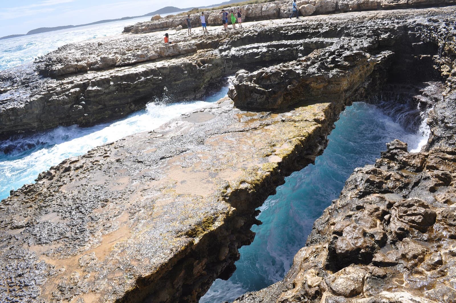
A natural limestone arch on the Atlantic headland at Indian Town Point, cut out by the swell over a very long time. The sea drives through the gaps and blows back out of them, which is the reason to come and also the reason to keep well back from the edge.
Dickenson Bay
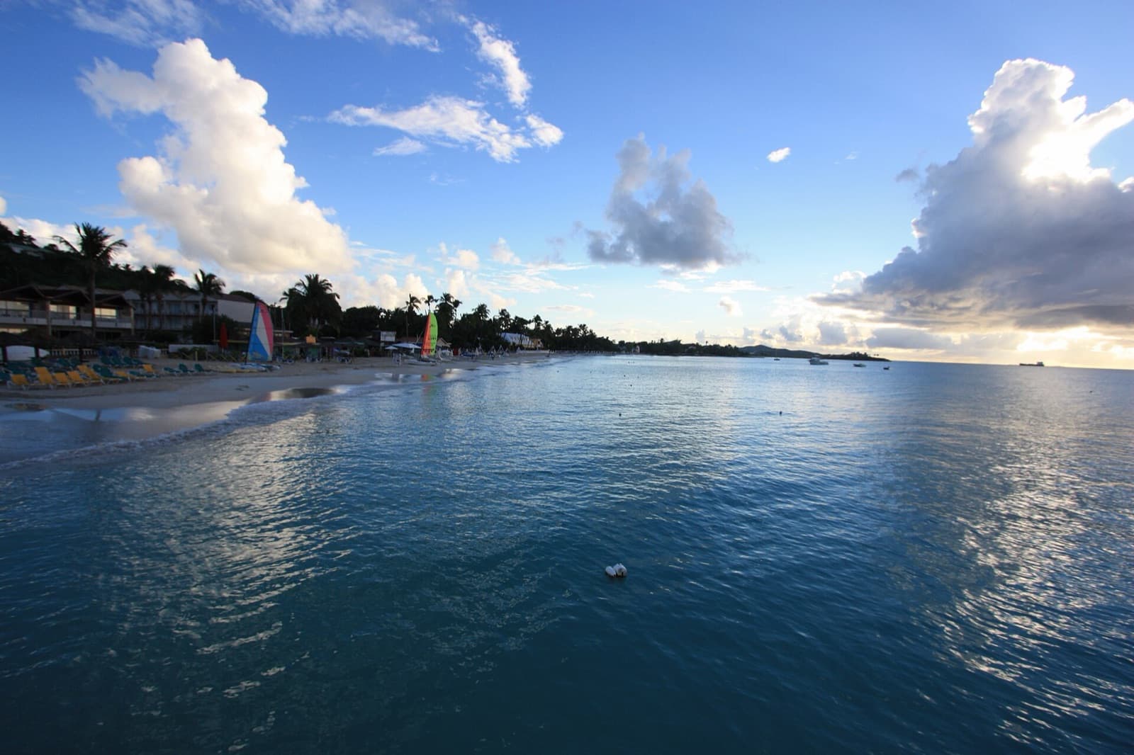
The island's busiest beach, and the one with everything on it: flat water, sun loungers, boat trips and somewhere to eat without leaving the sand. If you want a beach that is set up rather than empty, this is it.
Ffryes Beach
West Coast
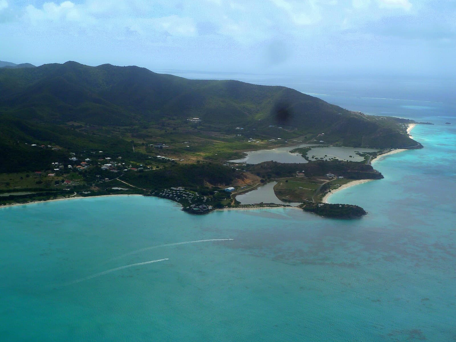
A wide, open bay in Saint Mary with pale sand and a headland at each end. It sits between Darkwood and Valley Church on the same coastal road, which makes it easy to see all three in an afternoon.
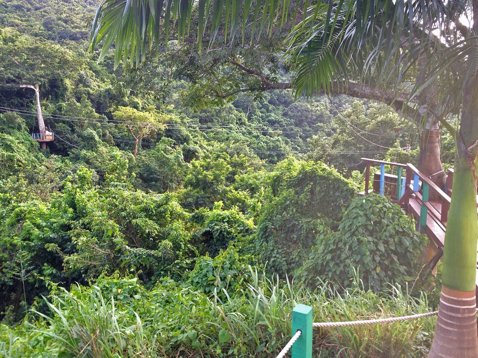
Fig Tree Drive
West Coast
The one properly green road on a dry island: a narrow lane through the hills of Saint Mary, under mango and banana, with fruit stalls at the turns and a zip-line strung across the ravine.
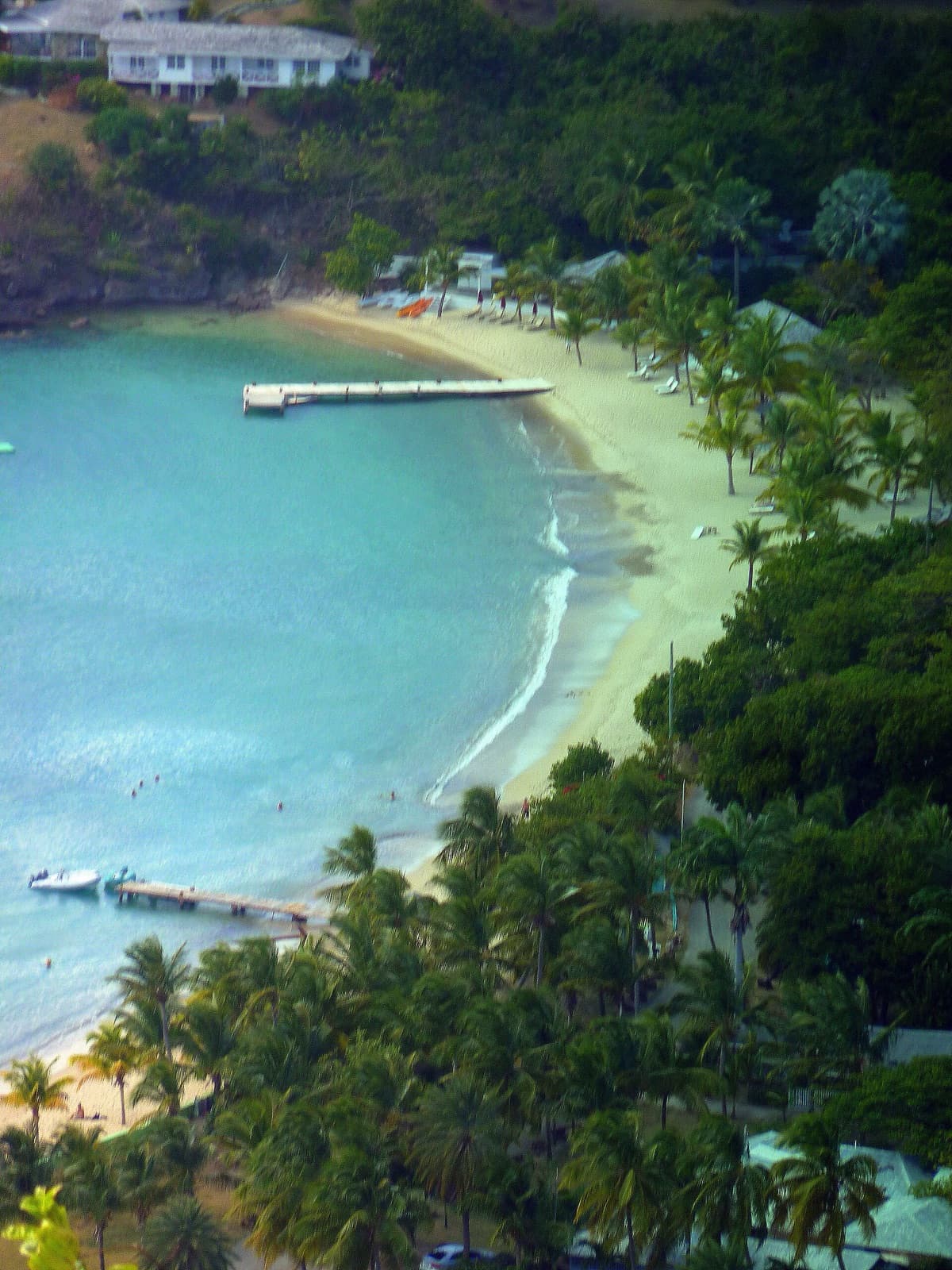
Galleon Beach
English Harbour
Across the water from the dockyard, on the far side of English Harbour, with the ridge of Shirley Heights standing over it. Sheltered, easy to swim, and the only beach on the island where the view is a working yacht harbour.
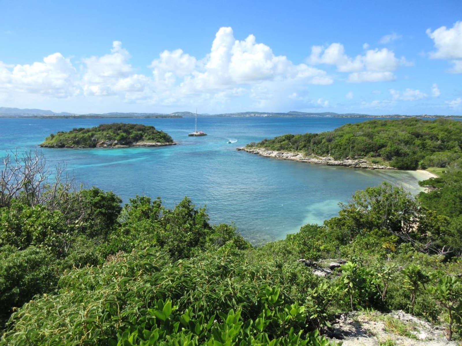
Great Bird Island
East Coast
An uninhabited island off the north-east coast, reached by boat, with a small beach, a short climb to the cliffs and reef in the shallows on the way. It sits inside the protected area that shelters the North Sound islands.
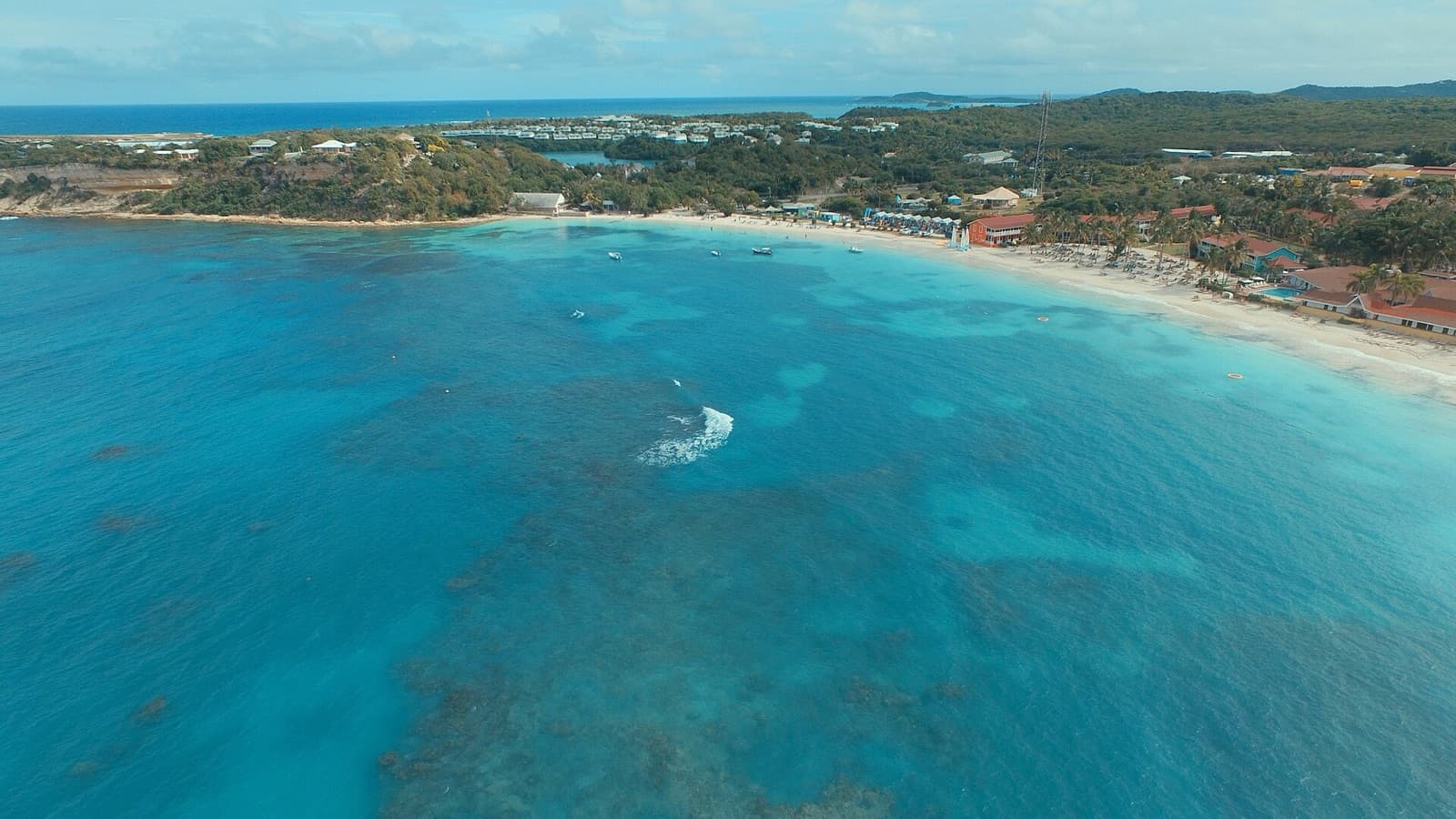
Long Bay
East Coast
On the east coast at Willikies, where a reef lies close enough offshore to take the Atlantic swell before it reaches the sand. That reef is what makes it one of the calmest beaches on this side of the island, and the best of them for snorkelling.
Stingray City
East Coast
A shallow sandbar off Seatons on the east coast where southern stingrays gather and you can stand chest-deep among them with a guide. Half a day, and the only one of these outings that works equally well for children.
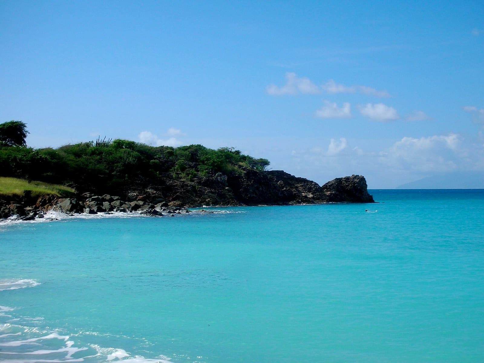
Turner's Beach
West Coast
The southern end of the west-coast run, closed off by a rocky point that keeps the water clear and makes the snorkelling worthwhile. On a clear day Montserrat sits on the horizon.
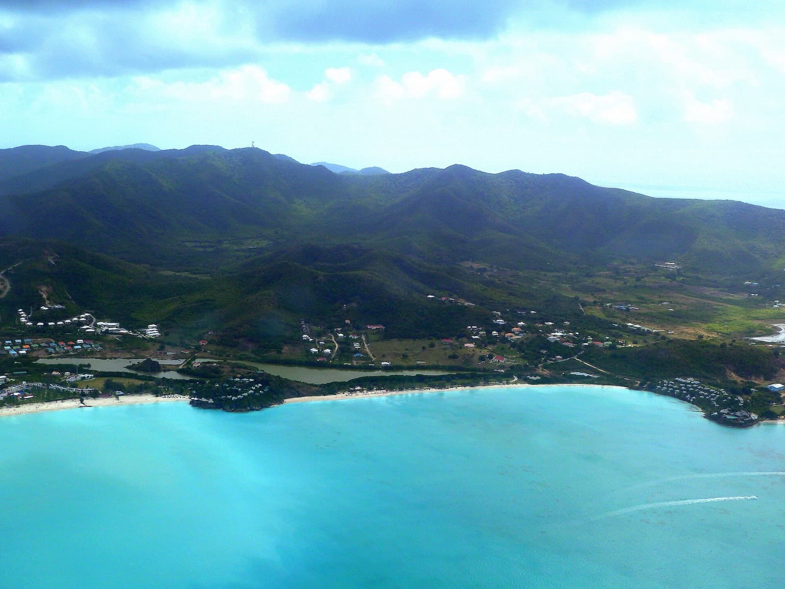
Valley Church Beach
West Coast
The most sheltered of the western bays, tucked behind a headland so the water stays shallow and still a long way out. The pale sand and the reef further offshore give it the flat turquoise you see from the plane on the way in.
Map data from OpenStreetMap.